GIS & Mapping Division
Explore options below to view maps compiled by the City of De Pere's Geographic Information System (GIS) Division, or to learn about our City's drone program. The GIS Division is responsible for automating Land Information for the City of De Pere. Land Information is data that can be spatially referenced, such as parcels, streets, business locations, utilities, etc. GIS technology is used to create and disseminate this spatial data to increase efficiency, improve services, and eliminate redundancy. The program also aids City leaders in making more informed decisions to create a more efficient operating government.
GIS & Mapping Division
335 S Broadway St, De Pere
(920) 339-4043
M-Th- 7:30 a.m. - 5:00 p.m.
F - 7:30 a.m. - 11:30 a.m.
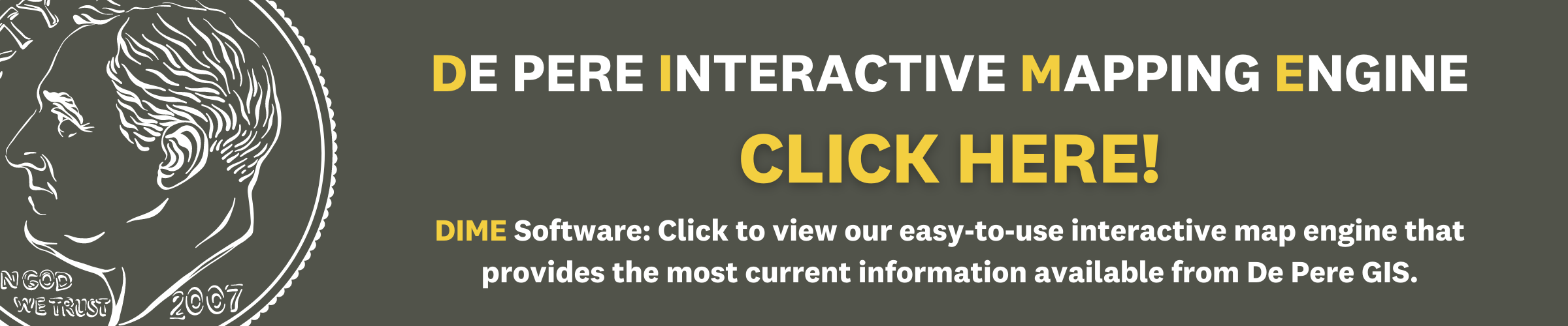
Please utilize the link to our DIME software above to explore GIS maps. The DIME system allows you to explore everything from construction, city services, and parking locations to aerial images dating back to the 1930s and much more!